
How a Topographic Survey Helps Spot Drainage Trouble Before You Build
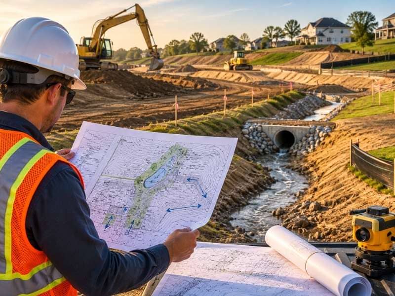
A topographic survey shows how water moves across a piece of land. It happens before any digging starts. The survey maps every rise and dip on a property. It shows where rain collects and where it runs off. This information answers questions a quick site visit cannot answer. Skipping this step often means finding drainage problems after grading is done. Fixes cost much more at that point.
Spotting Low Areas and Natural Drainage Paths Before You Break Ground
A topographic survey records elevation across an entire lot. It does not just check a few spots. This data shows shallow dips and paths where rainwater tends to gather. It also shows where water travels after a storm. Builders use this picture to plan grading that moves water away from a structure.
A site can look flat and dry on a clear day. It can act very differently during heavy rain. A small dip that looks harmless might carry a lot of water in a storm. Catching these patterns early lets a design team adjust the plan. This happens before construction locks anything into place.
How Survey Data Shapes Stormwater Management Planning
Stormwater rules require new development to manage runoff. A site cannot just send water onto a neighboring lot. Engineers need accurate elevation data to size detention areas. They also use it to plan swale routes. A topographic survey supplies the numbers that make these calculations possible.
Guessing at slope or runoff volume rarely works once heavy rain hits. Engineers often pair survey data with regional rainfall data. This helps them size drainage features the right way. Skipping this step often leads to costly redesigns later.
Mapping Drainage Infrastructure and Utility Conflicts on a Site
A topographic survey covers more than just the surface of a lot. It also marks existing pipes, culverts, and ditches. It shows drainage easements that cross or border the property. This keeps a new building or driveway from landing on top of something already doing a job.
Drainage easements carry real legal weight. Building over one can cause problems with neighbors. It can also break recorded property rules. A survey brings these features into view early. The design can still shift around them at that point.
Using Elevation Data to Protect Foundations From Water Damage
Small changes in elevation can decide where water goes near a foundation. It might drain away, or it might pool right against the wall. A topographic survey catches these small differences with real precision. This detail is hard to judge by eye, even on a lot that looks level.
Builders use this data to set the finished floor height. They also use it to slope the ground away from walls on every side. Getting this wrong by even a few inches can cause water to seep in. It can crack a slab or leave a crawl space damp within the first year.
Why Catching Drainage Issues Early Saves Time and Money on a Build
Fixing a drainage problem on paper costs far less than fixing one after concrete is poured. A topographic survey done before design work starts gives engineers a chance to plan around water issues. They do not have to react to them later. This timing often separates a smooth project from a costly one.
Once construction starts, changing a grading plan means moving dirt that is already in place. That adds labor and material costs fast. A permit reviewer who flags a drainage issue mid build can delay a project for weeks. Ordering a survey early removes most of that risk.
Frequently Asked Questions
Can a topographic survey show where stormwater will pool on a property?
Yes. The elevation data in a topographic survey reveals low spots with poor drainage. Builders use this to plan grading that keeps water away from structures and walkways.
How is a topographic survey different from a stormwater management study?
A topographic survey collects raw elevation and feature data for a property. A stormwater study then uses that data to calculate runoff volume. It also helps design solutions like detention ponds or swales.
Do builders need a topographic survey before applying for a grading permit?
Most grading and site development permits need accurate elevation data to support the application. A topographic survey provides that data in the format reviewers expect. This helps keep a permit application moving forward.
What happens if a drainage problem is found after construction has already started?
Fixing a drainage issue mid build usually means redesigning grading work that is already finished. That adds cost and delay. Permit reviewers may also pause a project until the issue gets resolved.
How current does a topographic survey need to be for an active project?
Site conditions can shift due to grading, erosion, or nearby construction work. A survey that is several years old may not show current drainage patterns. Ordering an updated survey before big design decisions keeps a project working from accurate information.