
Construction Survey Checks Before Large Commercial Expansions
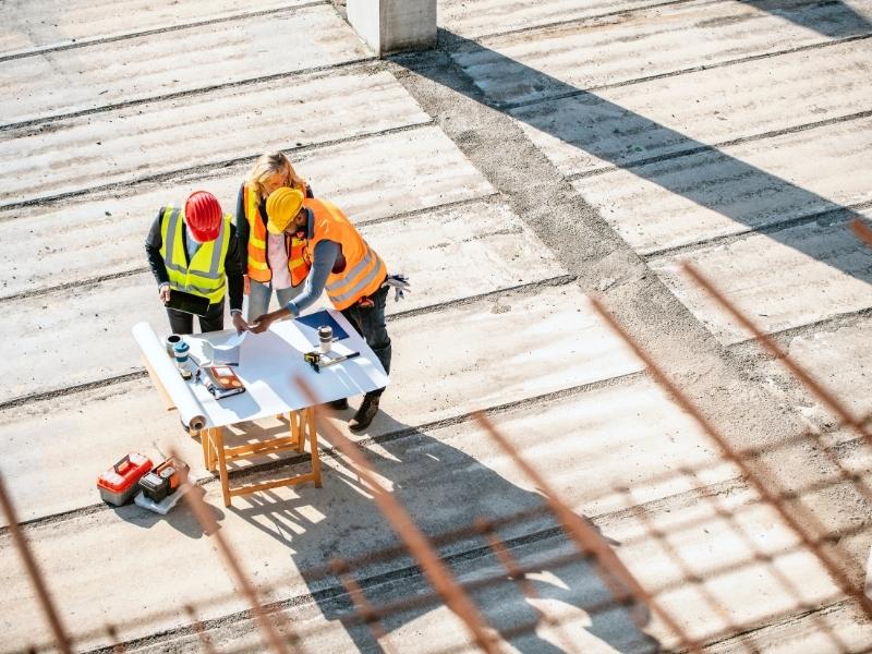
A large commercial expansion looks simple on paper. You need more space, so you build out. The ground itself rarely cooperates that easily. Old property lines, buried utilities, and uneven grades can turn a clean plan into a costly problem.
A construction survey is how you catch those problems early. It gives your design team accurate data about the site as it really is. Through survey mapping, existing features, boundaries, and site conditions are organized into a clear picture that engineers and architects can use during planning. Skip this step, and you might build over a setback line or into a buried gas main. Get it right, and your expansion stays on schedule and closer to budget.
Here’s the plan. Confirm your site conditions before you lock in any design. The checks below show what a solid construction survey covers and why each one matters for a big project.
Reviewing Existing Conditions Before Expansion Design
A construction survey starts with existing conditions. This is a detailed record of what already sits on and under your site. It maps buildings, pavement, curbs, storm drains, and other features that shape where you can build. This information provides project planning support by giving architects, engineers, and developers a reliable understanding of the site before major decisions are made.
Your architects and engineers design from this data. If the base information is wrong, every plan built on top of it is wrong too. That’s why the survey needs to come before the design work, not after.
Ask your surveyor to flag anything that could limit your expansion. Loading docks, retention ponds, and fire lanes all take up room. Knowing where they are now helps you plan the new footprint without surprises later.
Verifying Boundaries and Development Constraints
You can only build within your own property lines. A construction survey confirms exactly where those lines fall and documents the existing conditions that affect how the site can be developed. It also shows setbacks, easements, and right-of-way areas that limit where structures can go.
Setbacks are minimum distances from your property line to any building. Easements give another party the right to use part of your land, often for utilities or access. Both can shrink your usable space more than you expect.
For larger sites, an ALTA-style survey often pairs well with this step. It gathers title, boundary, and encumbrance details in one report. Lenders and title companies frequently want that level of detail before they fund or close on a commercial project.
Boundary rules and required documents can vary by property type, lender, title company, county, and city. Confirm what your project needs early. Waiting until permitting or closing can stall the whole timeline.
Mapping Elevations, Utilities, and Site Conditions
Flat-looking sites are rarely flat. A topographic survey records the ground’s elevations and slopes. That data drives grading, drainage, and how water moves across your property once new pavement and roofs go in.
Utilities matter just as much. Your survey should locate visible and recorded lines for water, sewer, gas, electric, and communications. Hitting an unmarked line during excavation is dangerous and expensive.
Site conditions round out the picture. Good survey work also captures features like these:
- Existing drainage paths and low spots
- Soil borings or geotechnical markers, when available
- Trees, wetlands, or protected areas
- Access points, driveways, and traffic flow
Knowing these details up front helps you design around them. It also gives engineers what they need for stormwater and grading plans.
Coordinating Survey Data With Construction Plans
Survey data only helps if the whole team uses it. The information should tie directly into your construction plans and site drawings. When the survey and the design share the same control points, everyone builds from the same map.
This is where construction staking comes in. Surveyors place stakes and marks in the field to show crews where to dig, pour, and build. Those marks translate the paper design into real positions on the ground.
Keep the survey and design teams talking throughout the project. Sites change as work moves forward. An as-built survey near the end confirms that what got built matches the approved plans, which helps with permits and future records.
Reducing Expansion Risks With Accurate Survey Information
Most expansion problems trace back to bad or missing information. A crew builds in the wrong spot. A wall lands on an easement. A finished lot floods after the first heavy rain. Accurate survey data lowers the odds of each of these.
Good survey work protects your money and your schedule. Fixing a mistake after concrete is poured costs far more than checking the data first. It also reduces disputes with neighbors, lenders, and local officials.
Order your construction survey early, and treat it as the foundation for the rest of the project. Confirm boundaries, grades, and utilities before design is final. That one habit prevents many of the delays that hit large commercial builds.
Frequently Asked Questions
What is a construction survey?
A construction survey is a set of measurements and maps that guide a building project on a specific site. It records boundaries, elevations, utilities, and existing features. Crews and designers use it to place work correctly and avoid costly errors. For large expansions, it also includes field staking that marks where to build.
When should I order a construction survey for an expansion?
Order it before your design work is finalized, not after. The survey data shapes grading, drainage, and where structures can go. Starting early gives your team time to adjust plans around real conditions. It also helps you avoid rushed reviews when permitting or financing deadlines arrive.
How is a construction survey different from a boundary survey?
A boundary survey focuses mainly on where your property lines fall. A construction survey covers that and much more, including elevations, utilities, and staking for the build. Think of the boundary survey as one piece of a broader construction survey. Larger projects usually need the fuller scope.
How long does a construction survey take?
Timing depends on the size of the site, its complexity, and the records available. A small, simple parcel may take a few days, while a large commercial site can take longer. Field work, research, and drafting all add time. Ask your surveyor for a schedule early so it fits your project timeline.
Do I need a new survey if I already have an old one?
Often, yes. Old surveys can miss recent changes to boundaries, utilities, or nearby development. Lenders, title companies, and cities may also require current data for a new project. A surveyor can review your existing documents and tell you what needs updating.
